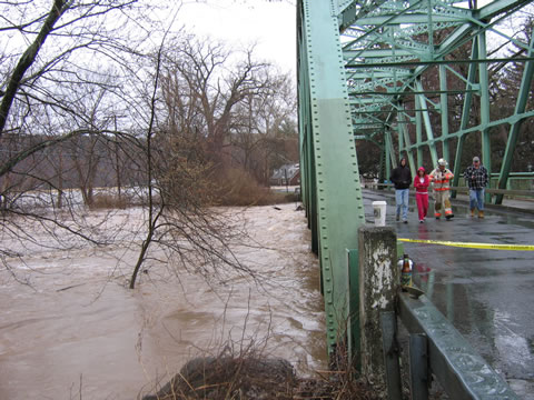
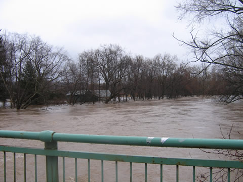
Looking upstream from the Hurley bridge. |

The same view after the creek went back down. |
Looking upstream from the Hurley bridge. |

The same view after the creek went back down. |
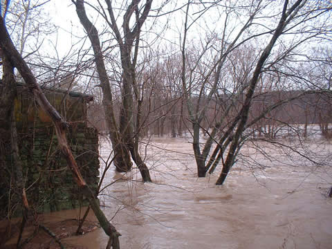
Looking downstream from the Hurley bridge. |
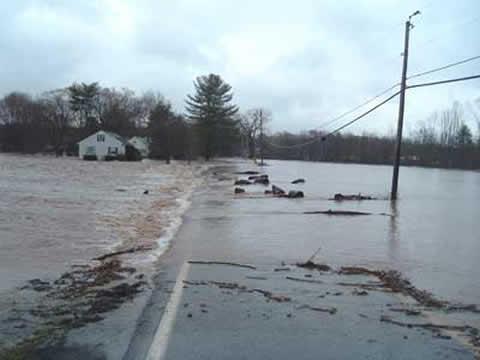
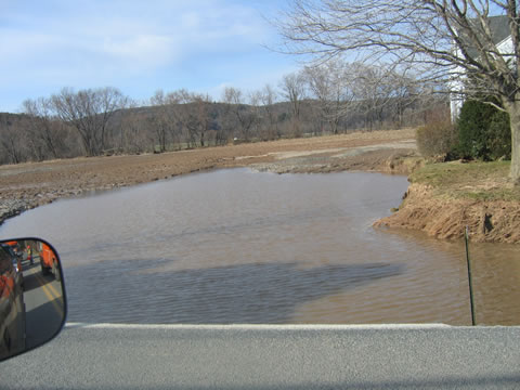
The creek overflowed it's banks and washed out the fields and the roadway. |
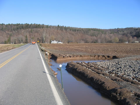
The creek took a new course over the road and washed out the shoulder and the cornfield. |
A huge amount of soil has been washed downstream! |
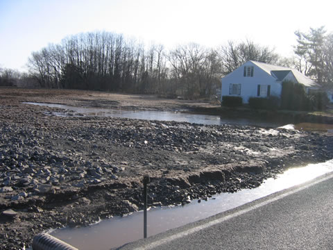
A few more feet and the foundation of this home would have been undermined. |
The front yard of the same house after the water rededed. |

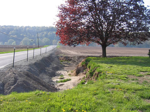
This is a cornfield! Thie bottom of this new ravine is 8 to 10 feet below the original field. |

The Esopus Creek cut a whole new course right through the center of this field! One of the corn farmers has said he has lost over 80 acres from his 1000 acre farm! They are now so washed out that they cannot be plowed or planted. |
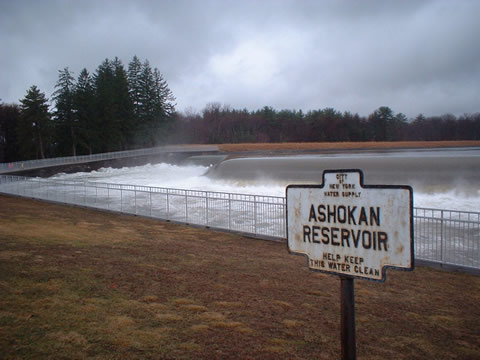
The Spillway at the Ashokan Reservoir. All the water travels downstream from here through the Hurley Flats and all the way to Saugerties. |
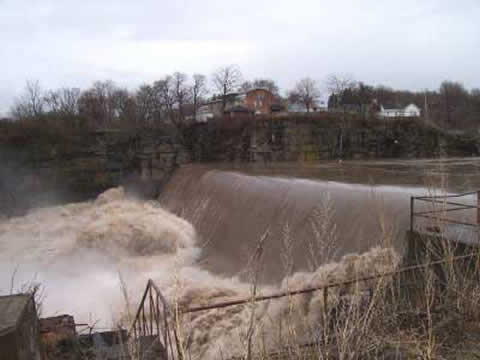
Cantine's Dam at Saugerties. The last impoundment before the Esopus drops into the Hudson River. |